
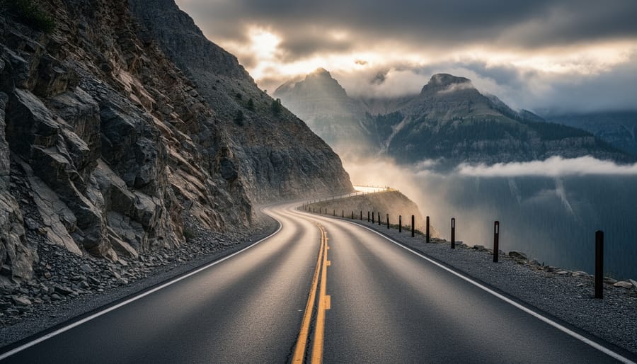
Colorado’s most dangerous roads claim lives every year through a lethal combination of extreme elevation changes, sudden weather shifts, hairpin switchbacks, and thousand-foot cliff exposures with minimal guardrails. Million Dollar Highway, Independence Pass, and Trail Ridge Road top the list, alongside lesser-known mountain routes where single-lane passages cling to crumbling rock faces and wildlife collisions happen with alarming frequency.
These aren’t just statistics on a state patrol report. Every summer, visitors unfamiliar with mountain driving underestimate the challenge of navigating 6% grades at 12,000 feet while RVs overheat and brakes fail. Winter brings a different terror: whiteout conditions that erase the road entirely, leaving drivers guessing where pavement ends and a 2,000-foot drop begins.
Yet here’s the truth seasoned Colorado drivers know: respect and preparation transform these roads from death traps into manageable routes. The same highways that appear on most-dangerous lists also rank among the state’s most spectacular drives, offering access to wilderness and views that justify the risk when you’re properly equipped.
This guide identifies Colorado’s eleven most treacherous roads based on accident data, fatality rates, and specific hazards. You’ll learn exactly what makes each dangerous, when to avoid them entirely, and how to drive them safely if your route demands it. Whether you’re planning a cross-state journey or considering a scenic detour, you’ll know which roads require genuine caution and which simply have scary reputations.
How We Identified Colorado’s Most Dangerous Roads
Choosing the seven most dangerous roads in Colorado wasn’t a matter of personal opinion or scary-sounding names. We dug into hard data and real-world experiences to build this list with transparency and credibility.
We started with accident and fatality statistics from the Colorado Department of Transportation, which tracks incidents on every major route in the state. Roads with consistently higher accident rates, especially those involving serious injuries or deaths, immediately flagged our attention. But numbers alone don’t tell the complete story of what makes a road genuinely hazardous.
To capture the full picture, we evaluated multiple criteria:
- Accident frequency and severity data from CDOT records
- Extreme elevation changes and high-altitude sections above 10,000 feet
- Seasonal weather closure frequency and duration
- Road width, lane configuration, and shoulder availability
- Presence or absence of guardrails along steep drop-offs
- Driver testimonials and firsthand accounts from Colorado communities
We also consulted local law enforcement officers and emergency responders who work these routes daily. Their insights revealed patterns the statistics might miss, like specific curves where drivers consistently misjudge speed or stretches where weather turns dangerously fast.
Community feedback proved invaluable. We gathered stories from Colorado drivers who’ve navigated these roads in all seasons, rental car employees who see nervous tourists, and tow truck operators who respond to breakdowns and accidents. These voices confirmed which roads earn their reputations through genuine hazards rather than exaggerated folklore.
This combination of quantifiable data, expert knowledge, and community experience ensures you’re getting an honest assessment of Colorado’s most challenging drives.
1. Million Dollar Highway (US 550), Ouray to Silverton
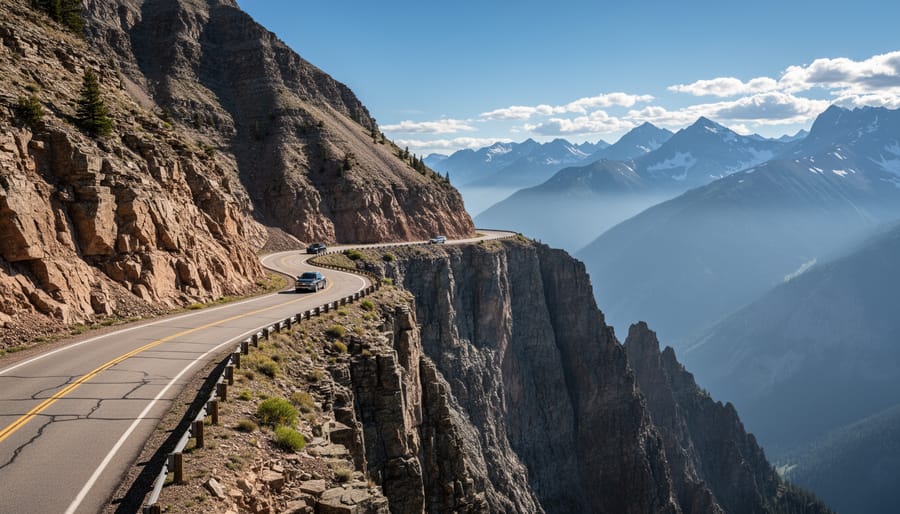
The 25-mile stretch of US 550 between Ouray and Silverton earned its “Million Dollar Highway” nickname from either the million-dollar views or the million dollars’ worth of gold ore in its roadbed, but most drivers remember it for the heart-stopping exposure. This road climbs to 11,018 feet at Red Mountain Pass with sheer drop-offs that plunge hundreds of feet beside narrow lanes, and there’s not a guardrail in sight on the most precarious sections.
What makes this highway particularly treacherous is the combination of factors that can’t be fixed with better engineering. The road clings to cliff faces where there simply isn’t room for shoulders or barriers. Lanes measure barely wide enough for two vehicles to pass, and when an RV or semi-truck comes around one of those hairpin turns, someone’s getting uncomfortably close to the edge. Local truckers joke that you need to pick your line and commit, but for tourists from flatland states, that first glimpse over the edge often triggers white-knuckle panic.
“I had to pull over three times just to let my hands stop shaking,” one visitor from Florida told us. “My wife kept saying ‘don’t look down,’ but how can you not look when there’s literally nothing between your passenger door and a 500-foot drop?”
Weather compounds every risk. Summer afternoon thunderstorms roll in fast at this elevation, turning pavement slick and reducing visibility to a few car lengths. Winter brings avalanche danger serious enough to close the road entirely during high-risk periods. Snowpack builds heavily on the slopes above, and when it releases, debris can bury the highway under tons of snow and rock.
The sweet spot for driving the Million Dollar Highway is late morning in June through September, after snowmelt stabilizes but before afternoon storms build. Go early in the day when traffic is lighter and visibility is clearest. If clouds are moving in or snow is forecast, postpone the trip. This road punishes impatience.
2. Independence Pass (State Highway 82)
Independence Pass earns its reputation as one of Colorado’s most treacherous drives through a brutal combination of elevation, weather volatility, and white-knuckle geometry. This 32-mile stretch of State Highway 82 connecting Aspen to Twin Lakes climbs to 12,095 feet at the Continental Divide, making it the highest paved through-road in Colorado.
The narrow lanes present the first shock for unfamiliar drivers. Much of the route barely accommodates two vehicles passing simultaneously, with shoulders that disappear entirely along cliff sections. One miscalculation means either scraping rock face or dropping hundreds of feet into nothing. The road twists through more than 50 hairpin turns, many banked at angles that feel wrong until you’re halfway through them.
Winter transforms Independence Pass from challenging to impossible. The Colorado Department of Transportation closes the summit section from late October through Memorial Day weekend, sometimes longer if snowpack lingers. These aren’t arbitrary dates, avalanche danger and snowdrifts reaching 20 feet make winter passage genuinely suicidal. Even in summer, afternoon thunderstorms can roll in with 15 minutes’ notice, turning dry pavement slick and reducing visibility to nearly zero.
Local drivers who navigate Independence Pass regularly offer consistent advice: start early, before 10 a.m., to avoid both tourist traffic and afternoon weather. They recommend descending on the eastern side if possible, since the western approach from Aspen features steeper grades and tighter switchbacks. Pull into the marked overlooks if you need to let faster traffic pass, pride isn’t worth a forced error on a blind curve.
Altitude affects vehicle performance noticeably at this elevation. Engines lose power, brakes heat faster on descents, and radiators work overtime. If your car struggles at lower mountain passes, Independence Pass will expose every weakness.
3. Trail Ridge Road (US 34 through Rocky Mountain National Park)
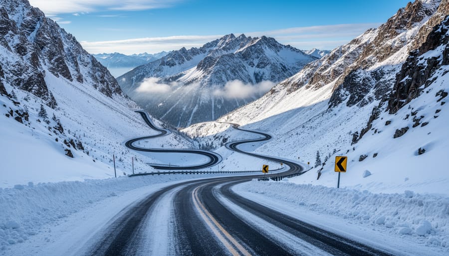
Trail Ridge Road earns its reputation as America’s highest continuous paved highway, climbing to 12,183 feet at its peak and spending 48 relentless miles above 11,000 feet. What makes this route particularly treacherous isn’t just the elevation, it’s how quickly conditions turn hostile even when you start under blue skies.
I’ve watched weather transform from sunny and calm to whiteout conditions in under fifteen minutes on this road. The alpine tundra environment that makes Trail Ridge so spectacular offers zero protection from incoming storms. You’re exposed on a narrow ribbon of pavement with drop-offs on both sides and nowhere to take shelter. Summer afternoon thunderstorms are nearly guaranteed between late June and August, bringing lightning strikes, hail, and sudden temperature drops that can turn rain to snow within the same hour.
The altitude affects more than just the weather. At 12,000 feet, you’re breathing roughly 40 percent less oxygen than at sea level. Driver judgment gets cloudy, reaction times slow, and some people experience full-blown altitude sickness with nausea and dizziness while behind the wheel. If you’re driving up from Denver’s mile-high elevation that same day, your body hasn’t had time to adjust.
Wildlife adds another unpredictable element. Elk, bighorn sheep, and marmots wander across the road with complete indifference to traffic. A bull elk weighs 700 pounds and won’t move for your SUV.
The road typically opens late May and closes by mid-October, but those dates shift based on snowpack. Even during the official season, morning ice patches linger in shadowed sections well into July. Park rangers close Trail Ridge without warning when conditions deteriorate, sometimes stranding drivers who need to backtrack hours to exit the park through lower elevations.
4. Mount Evans Road (State Highway 5)
Climbing to 14,130 feet, Mount Evans Road holds the distinction of being the highest paved road in North America, and that altitude creates dangers many drivers don’t anticipate until they’re halfway up. The 28-mile route from Idaho Springs gains over 7,000 feet in elevation, and the oxygen-thin air at the summit contains 40% less oxygen than sea level. This isn’t just uncomfortable; it directly impairs your judgment, reaction time, and alertness behind the wheel.
The road itself presents extreme challenges beyond altitude. Switchbacks come in rapid succession with no shoulders and nothing but air on the outer edge. There are no guardrails for most of the route. One momentary lapse in concentration on these hairpin turns could be catastrophic. The pavement narrows as you climb, and passing oncoming vehicles requires precision timing and nerves of steel.
Sarah Martinez, a Denver-based photographer who drives Mount Evans annually for sunrise shoots, shares her experience: “The first time I drove it, I didn’t realize how much the altitude would mess with my head. At about 12,000 feet, I noticed I was making slower decisions, almost like being slightly drunk. Now I always stop at Summit Lake to acclimate before continuing to the top, and I never attempt it if I haven’t slept well.”
Weather changes without warning up here. You might leave Idaho Springs in sunshine and hit snow squalls at treeline. Summer thunderstorms build quickly in the afternoon, bringing lightning danger to this exposed ridge. The road typically opens late May and closes by Labor Day, but even summer dates see freezing temperatures at the summit.
If you feel lightheaded, nauseous, or unusually tired while driving, those are altitude sickness symptoms, turn around immediately. This road demands complete mental clarity, and the thin air works against you from the moment you start climbing.
5. Guanella Pass (Forest Road 381)
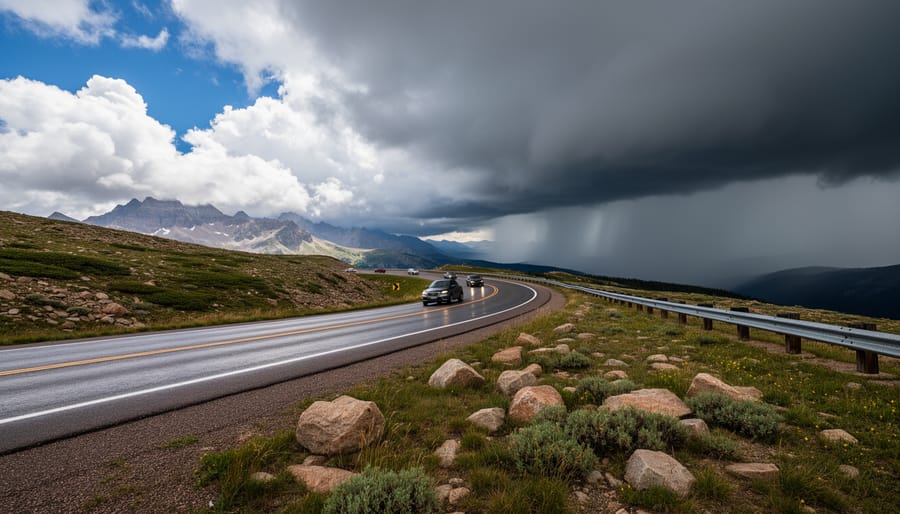
Guanella Pass connects Georgetown to Grant through 22 miles of shifting terrain that catches drivers off guard with its dual personality. The first half from Georgetown climbs steadily on pavement, then around the 9,000-foot mark, the road surface becomes gravel and dirt for roughly 8 miles before returning to asphalt near Grant.
That middle stretch turns genuinely hazardous when moisture hits. After even light rain, the unpaved sections develop slick clay patches that send vehicles sliding toward drop-offs. I’ve talked with locals who’ve watched cars lose traction on seemingly mild curves because the dirt surface offers zero grip when wet. During afternoon thunderstorms, common from June through August, the road can transform from passable to treacherous in twenty minutes.
The curves tighten considerably through the unpaved portions, with several blind switchbacks where you can’t see oncoming traffic until you’re nearly nose-to-nose. The road narrows to barely two cars wide in spots, forcing awkward encounters with descending vehicles where someone has to back up to a wider point. There’s often no shoulder, just loose gravel transitioning directly to steep slopes.
Cell service vanishes for most of the pass. If you break down or slide off, you’re looking at a long wait before help arrives. The summit area at 11,669 feet sits exposed to weather that can shift violently, sun to snow in July isn’t unheard of.
Rental car agreements frequently prohibit this route, and Colorado drivers recommend against tackling it in anything but dry conditions with high clearance. The scenery justifies the drive when conditions cooperate, but Guanella demands respect and patience you won’t need on paved mountain highways.
6. I-70 Through the Eisenhower Tunnel and Vail Pass
I-70 through the Eisenhower Tunnel and Vail Pass doesn’t look dangerous on a summer afternoon, but Colorado’s main interstate artery transforms into a white-knuckle experience when winter storms roll through. This stretch claims lives every year, and the danger comes not from narrow lanes or missing guardrails but from the deadly combination of high speeds, heavy traffic, and weather that changes in the time it takes to drive five miles.
The Eisenhower Tunnel sits at 11,013 feet, making it the highest vehicular tunnel in North America. You’ll climb from Denver at 5,280 feet to over 11,000 feet in less than an hour, and that rapid elevation gain brings drastic weather shifts. I’ve driven into the tunnel under clear skies and emerged into a blizzard that reduced visibility to car-lengths. The tunnel itself stays clear, but the approaches become ice rinks when temperatures drop.
Vail Pass, ten miles west of the tunnel, peaks at 11,158 feet and gets absolutely hammered during ski season. The combination of interstate speeds, impatient drivers racing to the slopes, semis struggling on grades, and sudden black ice creates a perfect storm for multi-vehicle pileups. The Colorado State Patrol works dozens of accidents here every weekend from December through March.
Chain laws kick in regularly on this stretch. When you see “Code 16” on highway signs, it means passenger vehicles need either chains or proper snow tires plus four-wheel drive. Troopers will turn you around if you don’t comply, and they should. The westbound descent from Vail Pass has claimed vehicles whose drivers thought all-season tires would be enough.
What makes this section particularly treacherous is the false confidence it inspires. It’s an interstate, so drivers maintain highway speeds even when conditions deteriorate. That’s when things go wrong.
7. Pikes Peak Highway
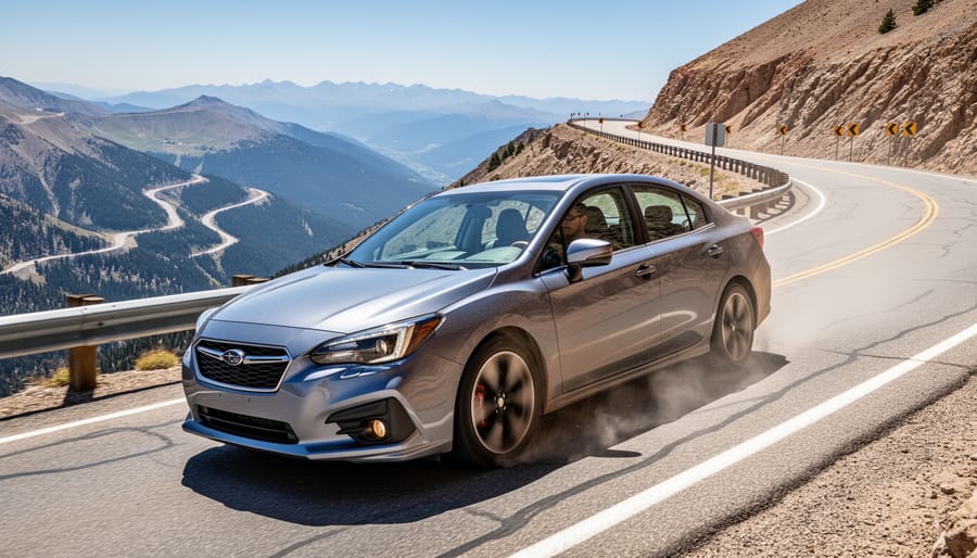
Pikes Peak Highway stretches 19 miles from the gateway town of Cascade to the 14,115-foot summit, earning its reputation through sheer exposure rather than narrow lanes or missing guardrails. The 156 turns, yes, someone counted, wind through four distinct climate zones, starting in pine forest and ending on a barren, oxygen-starved summit where the temperature can drop 30 degrees from base to peak.
The descent presents the most serious hazard. Continuous braking on the downhill run generates extreme heat that causes brake fade, where your pedals lose effectiveness just when you need them most. Rangers stationed at the summit specifically warn drivers to downshift into lower gears and avoid riding the brakes. Overheated brakes smell like burning rubber and feel spongy under your foot, ignore either sign and you’re facing a genuine emergency on a road with limited escape options.
This explains why most rental car companies explicitly prohibit Pikes Peak Highway in their contracts. The brake strain damages vehicles, and unprepared tourists unfamiliar with mountain driving create the perfect recipe for brake failure. If you’re driving a rental, read the fine print. Violating the restriction voids your insurance coverage, leaving you personally liable for damage or accidents.
The road’s other challenge is altitude. The thin air at 14,000 feet affects judgment and reaction time, symptoms many drivers don’t notice until they’re already compromised. Headaches, dizziness, and fatigue hit hard, especially if you rushed the ascent without acclimatizing. Take breaks at the designated pullouts, drink water, and recognize that turning around isn’t defeat, it’s smart driving when the mountain wins that day.
Essential Safety Tips for Navigating Dangerous Colorado Roads
Before you tackle any of these challenging routes, proper preparation can mean the difference between a memorable adventure and a genuine emergency. Colorado’s seasoned mountain drivers follow a consistent set of practices that keep them safe on these demanding roads.
Check conditions obsessively. Weather in the mountains changes faster than anywhere you’ve likely driven, sometimes going from sunny to whiteout in under an hour. Before leaving and again mid-trip, monitor forecasts for the specific elevations you’ll cross.
Summer afternoon thunderstorms roll in predictably after 2 PM above treeline, bringing lightning, hail, and flash flooding to mountain passes.
Prepare your vehicle for altitude and grades. Your brakes will work harder than on any flatland drive. Downshift to use engine braking on descents rather than riding your brake pedal, which causes dangerous brake fade and potential failure. Check your coolant, as engines run hotter in thin air. Tire pressure changes with elevation, so verify it’s within range before climbing.
Give yourself time to adjust if you’re coming from lower elevations. Altitude sickness affects judgment and reaction time. Drink more water than seems necessary, take breaks, and watch for headaches or dizziness that signal you need to descend.
Assemble an emergency kit with items you’d need if stranded overnight: warm layers, blankets, water, high-energy snacks, flashlight, first-aid supplies, phone charger, and a physical map. Cell service disappears quickly in the mountains. Locals recommend keeping your gas tank above half-full on any mountain route.
Know when to turn back. If visibility drops below 100 feet, rain turns to sleet, or you feel genuinely uncomfortable with the exposure, there’s zero shame in choosing a different day. The experienced Colorado drivers who shared their insights for this article emphasized one consistent point: respecting your limits and the mountain’s conditions keeps these roads accessible. For additional safety guidance during peak seasons, consult holiday traffic tips for busy weekends, and those wanting to avoid winter driving altogether can still experience Colorado’s mountain scenery by other means.
When to Avoid These Roads
Timing can mean the difference between a thrilling drive and a white-knuckle nightmare on Colorado’s mountain roads. Most high-elevation passes close completely from late October through Memorial Day, Independence Pass and Trail Ridge Road typically shut down by mid-October and don’t reopen until late May or early June. Mount Evans Road closes even later in spring, often staying shuttered until Memorial Day weekend.
Winter brings chain law enforcement on I-70, usually from September through May. You’ll see “Traction Law” or “Chain Law” signs when conditions deteriorate, and violating them carries hefty fines. Black ice peaks in November and March when daytime melting refreezes overnight.
Summer has its own hazards. Afternoon thunderstorms roll in almost daily between late June and early August, typically starting around 2 p.m. Lightning strikes above treeline are deadly serious, if you’re planning a morning drive on Trail Ridge or Pikes Peak, aim to start your descent by noon.
Peak tourist congestion hits hardest on weekends from Memorial Day through Labor Day. The Million Dollar Highway becomes a slow-moving parade of RVs and nervous drivers, while I-70 westbound on Friday afternoons is a parking lot. Experienced locals avoid these corridors entirely on summer holiday weekends.
If mountain driving sounds too intense, consider exploring Colorado’s beauty via scenic train routesmulti-day train rides or Amtrak scenic routes that showcase mountain vistas without the stress.
Frequently Asked Questions About Dangerous Colorado Roads
Driving Colorado’s mountain roads raises legitimate questions, and getting accurate answers before you go can mean the difference between a memorable adventure and a stressful ordeal. Here’s what Colorado drivers and visitors ask most frequently.
Do I really need a 4WD or AWD vehicle for these roads?
During summer months with clear weather, most passenger vehicles can handle paved roads like Trail Ridge and Independence Pass. However, 4WD or AWD becomes essential for unpaved sections like Guanella Pass and strongly recommended during shoulder seasons when snow or ice might appear unexpectedly.
What if I’m afraid of heights?
Several of these roads have extreme exposure and sheer drop-offs with no guardrails. If heights make you uncomfortable, consider being a passenger instead of driving, keep your eyes on the road rather than the edge, or choose routes with more protection like the Eisenhower Tunnel section of I-70.
Are these roads actually worth the risk?
Absolutely, when driven in appropriate conditions with proper preparation. The scenery along routes like Million Dollar Highway and Pikes Peak ranks among the most spectacular in North America. Respect the hazards, but don’t let fear prevent you from experiencing Colorado’s mountain majesty.
What should I do if weather turns bad while I’m on the road?
Pull over at the first safe opportunity, wait out severe weather if possible, and turn back if conditions worsen. Never try to push through dangerous storms, and remember that afternoon thunderstorms are common in summer, often clearing within 30-45 minutes.
Can I drive these roads in a rental car?
Check your rental agreement first because many companies specifically prohibit roads like Pikes Peak Highway due to brake wear and high-altitude risks. Even if allowed, ensure you’re comfortable with mountain driving before attempting challenging routes in an unfamiliar vehicle.
Will my regular car insurance cover accidents on these roads?
Standard auto insurance typically covers accidents on public roads, but review your policy for altitude or unpaved road exclusions. Some insurers consider certain routes high-risk, and rental car damage waivers may have specific mountain road restrictions.
The most important thing to remember is that thousands of people safely drive these roads every year. Your success depends on honest self-assessment of your driving skills, vehicle capabilities, and current conditions rather than bravado or blind optimism.
Colorado’s most dangerous roads aren’t barriers to adventure, they’re invitations to experience the state’s most breathtaking landscapes with eyes wide open. Every hairpin turn on Independence Pass, every exposed stretch of the Million Dollar Highway, and every oxygen-thin mile up Pikes Peak reveals why people travel thousands of miles to drive these routes.
The difference between a white-knuckle nightmare and an unforgettable journey comes down to preparation and honest self-assessment. Check forecasts obsessively. Start early to avoid afternoon storms. Know your vehicle’s limits and your own comfort zone with heights and exposure. There’s zero shame in turning back when conditions deteriorate or anxiety overwhelms enjoyment.
These seven roads have earned their reputations through real incidents and genuine hazards, but thousands of drivers navigate them safely every season by respecting what makes them dangerous. The elevation won’t negotiate. The weather won’t wait. Your brakes won’t magically improve mid-descent.
Approach these routes with the seriousness they deserve, and they’ll reward you with views and memories that tame highways simply can’t deliver. Colorado’s mountains demand respect, not fear, and that respect starts with knowing exactly what you’re getting into.